1. Introduction
For the construction on earth’s surface, it is necessary to survey construction sites and survey can be divided into different kinds based on the geography of earth taken into consideration during data collection.
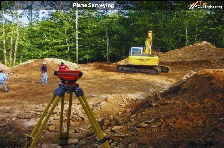
Plane surveying is the type of surveying in which the surveyors don’t consider curvature and spherical shape of the earth instead they assume earth as a plane surface.

2. Features of Plane Surveying
a. It covers a small area of the earth’s surface.
b. It considers the earth as a plane surface but neglects the curvature and spherical shape.
c. It is carried out when the area is less than 250 km².
d. Its degree of accuracy is low as compared to thegeodetic survey.
e. The line connecting any two points is taken as straight-line & the angles of polygons are taken as plane angles.
f. All plumb lines are considered parallel.
3. Uses of plane surveying
Plane Surveying includes chain surveying, plane table surveying, compass surveying, theodolite surveying and levelling.
Hence it is used in designing of structures like the highway, bridge, railway, canal dam, boundary pillar, factories, etc.
Almost all surveying that is carried out without the use of GPS& satellites is plane surveying.
| Read More: Geodetic Surveying |
| Read More: Total Station in Surveying |

